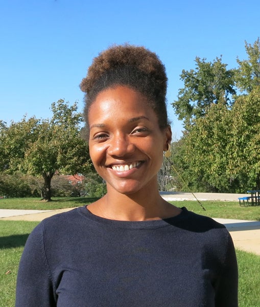
Dr. Lola Fatoyinbo
Remote Sensing Ecologist
Dr. Lola Fatoyinbo is a Remote Sensing Ecologist interested in monitoring and modeling the impact of global changes on forests and coastal ecosystems. Her key research questions are focused on the use of multiple Earth Observing datasets to better understand coastal and tropical terrestrial ecosystems on our planet. Dr. Fatoyinbo’s current research aims to use the fusion of optical, Synthetic Aperture Radar and Lidar data to quantify forest structure, carbon stocks, extent, and degradation. Specifically, Dr. Fatoyinbo works on characterizing the vulnerability and response of coastal ecosystems to disturbances from land use and climate change, as well as on the use of Remote Sensing to Support the United Nations Sustainable Development Goals, Greenhouse Gas (GHG) reporting and Biodiversity conservation. Her research portfolio includes projects that assess the vulnerability of Caribbean and Mesoamerican mangrove ecosystems to tropical cyclones and drought, quantifying the Methane emissions in coastal wetlands in Florida, developing Earth Observation driven Natural Capital Assessment methodologies for West and Southern Africa, and mapping coastal bathymetry and benthic ecosystems from space. She has led airborne science campaigns, participates on spaceborne satellite mission teams and sits on multiple international working groups focused on blue carbon ecosystems, biological diversity and carbon cycling. In 2012, Dr. Fatoyinbo was the recipient of the Presidential Early Career Award in Science and Engineering for her efforts on merging scientific priorities with advanced technology to develop innovative remote-sensing instrumentation for carbon-cycle and ecosystems science. She holds a bachelor’s degree in biology and a PhD in Environmental Sciences from the University of Virginia.